
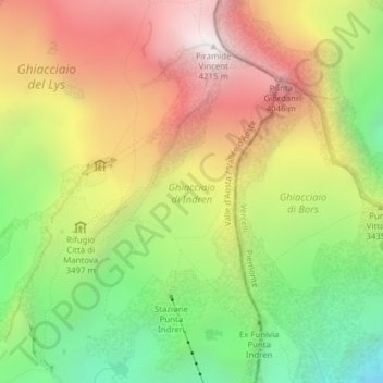
Ghiacciaio di Indren topographic map
Interactive map
Click on the map to display elevation.
About this map
Name: Ghiacciaio di Indren topographic map, elevation, terrain.
Average elevation: 3,440 m
Minimum elevation: 2,710 m
Maximum elevation: 4,200 m