
Kaibab Lake topographic map
Interactive map
Click on the map to display elevation.
About this map
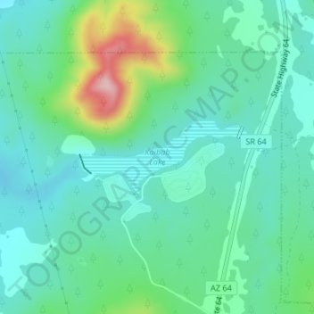
Name: Kaibab Lake topographic map, elevation, terrain.
Average elevation: 2,101 m
Minimum elevation: 2,055 m
Maximum elevation: 2,243 m
Other topographic maps
Click on a map to view its topography, its elevation and its terrain.
Kaibab National Forest
Kaibab National Forest, NFR 47A, Williams, Coconino County, Arizona, 86046, USA
Average elevation: 1,753 m