
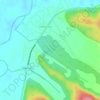
Каменка topographic map
Interactive map
Click on the map to display elevation.
About this map
Name: Каменка topographic map, elevation, terrain.
Average elevation: 224 m
Minimum elevation: 199 m
Maximum elevation: 303 m
Other topographic maps
Click on a map to view its topography, its elevation and its terrain.
Чугуевка
Rússia > Krai do Litoral > Чугуевское сельское поселение
Чугуевка, Чугуевское сельское поселение, Чугуевский район, Krai do Litoral, Distrito Federal Oriental, 692601, Rússia
Average elevation: 338 m