
Casal de São José topographic map
Interactive map
Click on the map to display elevation.
About this map
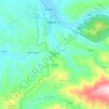
Name: Casal de São José topographic map, elevation, terrain.
Location: Casal de São José, Arganil, Coimbra, 3300-013, Portugal (40.18566 -8.07299 40.22566 -8.03299)
Average elevation: 290 m
Minimum elevation: 150 m
Maximum elevation: 661 m
Other topographic maps
Click on a map to view its topography, its elevation and its terrain.