
Chehaima topographic map
Interactive map
Click on the map to display elevation.
About this map
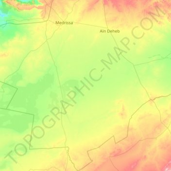
Name: Chehaima topographic map, elevation, terrain.
Location: Chehaima, daïra Aïn Deheb, Tiaret, Algérie (34.07332 1.16317 35.01611 1.57578)
Average elevation: 1,083 m
Minimum elevation: 859 m
Maximum elevation: 1,650 m