
Thank you for supporting this site ❤️
Make a donation
Make a donation
Hawthorne topographic map
Click on the map to display elevation.
Thank you for supporting this site ❤️
Make a donation
Make a donation
About this map
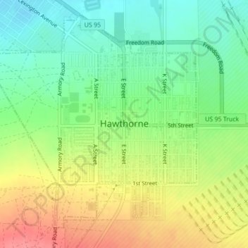
Name: Hawthorne topographic map, elevation, terrain.
Location: Hawthorne, Mineral County, Nevada, 89415, United States (38.51329 -118.64434 38.53648 -118.61449)
Average elevation: 1,322 m
Minimum elevation: 1,288 m
Maximum elevation: 1,366 m
Thank you for supporting this site ❤️
Make a donation
Make a donation
Other topographic maps
Click on a map to view its topography, its elevation and its terrain.
Walker Lake
United States > Nevada > Mineral County > Schurz
These diversions have resulted in a severe drop in the lake's level. According to the USGS, the level dropped approximately 181 ft (55 m) between 1882 and 2016. By June 2016, the lake level was 3,909 feet (1,191 m) above sea level, the lowest lake elevation since measurement began in 1882. As of 2022, Walker…
Average elevation: 1,531 m