
Montsinéry topographic map
Interactive map
Click on the map to display elevation.
About this map
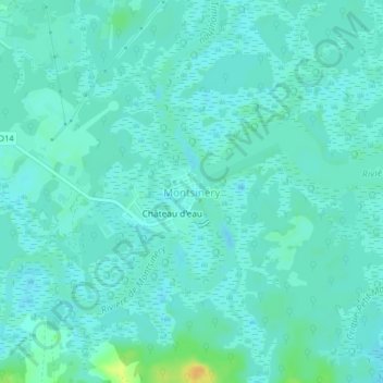
Name: Montsinéry topographic map, elevation, terrain.
Average elevation: 7 m
Minimum elevation: 1 m
Maximum elevation: 28 m
Other topographic maps
Click on a map to view its topography, its elevation and its terrain.
Crique Laloupe
France > Guyane > Montsinéry-Tonnegrande
Crique Laloupe, Montsinéry-Tonnegrande, Cayenne, Guyane, 97356, France
Average elevation: 6 m