
La Clouse topographic map
Interactive map
Click on the map to display elevation.
About this map
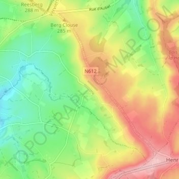
Name: La Clouse topographic map, elevation, terrain.
Location: La Clouse, Aubel, Verviers, Luik, Wallonië, 4880, België (50.67249 5.87844 50.71249 5.91844)
Average elevation: 267 m
Minimum elevation: 197 m
Maximum elevation: 354 m