
Kelurahan Kasin topographic map
Interactive map
Click on the map to display elevation.
About this map
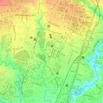
Name: Kelurahan Kasin topographic map, elevation, terrain.
Location: Kelurahan Kasin, Kota Malang, East Java, Indonesia (-8.00269 112.62233 -7.98345 112.63097)
Average elevation: 434 m
Minimum elevation: 402 m
Maximum elevation: 458 m