
Les Morands topographic map
Interactive map
Click on the map to display elevation.
About this map
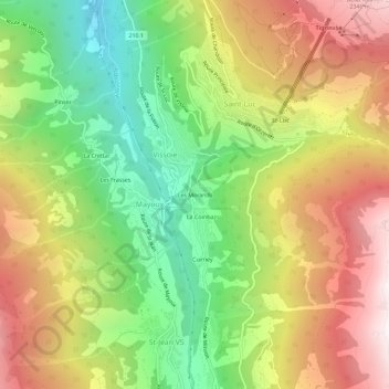
Name: Les Morands topographic map, elevation, terrain.
Location: Les Morands, Vissoie, Anniviers, Sierre, Valais, 3961, Suisse (46.19118 7.56980 46.23118 7.60980)
Average elevation: 1,628 m
Minimum elevation: 917 m
Maximum elevation: 2,432 m