
Thank you for supporting this site ❤️
Make a donation
Make a donation
Chivi topographic map
Click on the map to display elevation.
Thank you for supporting this site ❤️
Make a donation
Make a donation
About this map
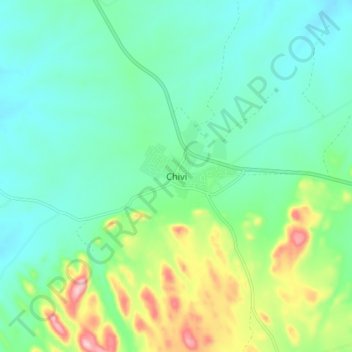
Name: Chivi topographic map, elevation, terrain.
Location: Chivi, Masvingo Province, Zimbabwe (-20.35096 30.46221 -20.27096 30.54221)
Average elevation: 956 m
Minimum elevation: 893 m
Maximum elevation: 1,135 m
Thank you for supporting this site ❤️
Make a donation
Make a donation