
Raigad Khind topographic map
Interactive map
Click on the map to display elevation.
About this map
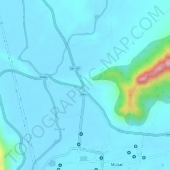
Name: Raigad Khind topographic map, elevation, terrain.
Location: Raigad Khind, Mahad, Raigad, Maharashtra, 402300, India (18.08336 73.40900 18.10336 73.42900)
Average elevation: 23 m
Minimum elevation: 2 m
Maximum elevation: 197 m
Other topographic maps
Click on a map to view its topography, its elevation and its terrain.
Mahad
India > Maharashtra > Mahad > Mahad
Mahad, Raigad, Maharashtra, 402300, India
Average elevation: 75 m