
Porter Creek topographic map
Interactive map
Click on the map to display elevation.
About this map
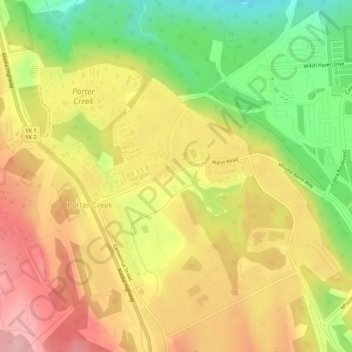
Name: Porter Creek topographic map, elevation, terrain.
Location: Porter Creek, Whitehorse, Yukon, Canada (60.76596 -135.15874 60.78335 -135.12472)
Average elevation: 710 m
Minimum elevation: 631 m
Maximum elevation: 775 m