
Santa Maria 5 topographic map
Interactive map
Click on the map to display elevation.
About this map
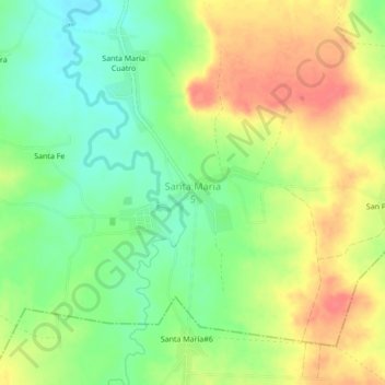
Name: Santa Maria 5 topographic map, elevation, terrain.
Location: Santa Maria 5, Puerto Padre, Las Tunas, Cuba (21.07508 -76.59194 21.11508 -76.55194)
Average elevation: 64 m
Minimum elevation: 36 m
Maximum elevation: 94 m
Other topographic maps
Click on a map to view its topography, its elevation and its terrain.
Embalse El Yeso
Cuba > Las Tunas > Puerto Padre > La Division
Embalse El Yeso, La Division, Puerto Padre, Las Tunas, Cuba
Average elevation: 63 m