
Rollie Inferiore topographic map
Interactive map
Click on the map to display elevation.
About this map
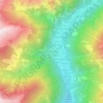
Name: Rollie Inferiore topographic map, elevation, terrain.
Location: Rollie Inferiore, Issime, Valle d'Aosta, Italia (45.66258 7.82996 45.70258 7.86996)
Average elevation: 1,488 m
Minimum elevation: 841 m
Maximum elevation: 2,385 m