
Elst topographic map
Interactive map
Click on the map to display elevation.
About this map
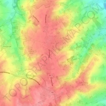
Name: Elst topographic map, elevation, terrain.
Location: Elst, Brakel, Oudenaarde, Oost-Vlaanderen, Vlaanderen, België (50.80860 3.71409 50.84359 3.75295)
Average elevation: 76 m
Minimum elevation: 21 m
Maximum elevation: 108 m