
Suhbaatar topographic map
Interactive map
Click on the map to display elevation.
About this map
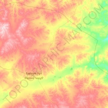
Name: Suhbaatar topographic map, elevation, terrain.
Location: Suhbaatar, Sükhbaatar, Mongolia (46.34020 112.88013 47.56376 114.90112)
Average elevation: 1,010 m
Minimum elevation: 794 m
Maximum elevation: 1,379 m
Other topographic maps
Click on a map to view its topography, its elevation and its terrain.