
Agouni Gueghrane topographic map
Interactive map
Click on the map to display elevation.
About this map
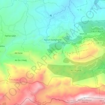
Name: Agouni Gueghrane topographic map, elevation, terrain.
Location: Agouni Gueghrane, Daïra Ouadhia, Tizi Ouzou, Algérie (36.46383 4.08315 36.54496 4.16333)
Average elevation: 969 m
Minimum elevation: 249 m
Maximum elevation: 2,287 m