
Farmingville topographic map
Interactive map
Click on the map to display elevation.
About this map
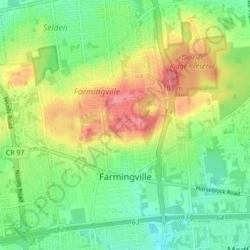
Name: Farmingville topographic map, elevation, terrain.
Location: Farmingville, Suffolk County, New York, 11738, USA (40.82145 -73.07869 40.85997 -73.01470)
Average elevation: 47 m
Minimum elevation: 16 m
Maximum elevation: 94 m