
Banneux topographic map
Interactive map
Click on the map to display elevation.
About this map
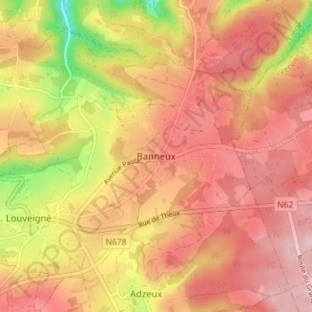
Name: Banneux topographic map, elevation, terrain.
Location: Banneux, Sprimont, Luik, Wallonië, 4141, België (50.51842 5.71619 50.55842 5.75619)
Average elevation: 275 m
Minimum elevation: 146 m
Maximum elevation: 344 m
Other topographic maps
Click on a map to view its topography, its elevation and its terrain.