
Santiago topographic map
Interactive map
Click on the map to display elevation.
About this map
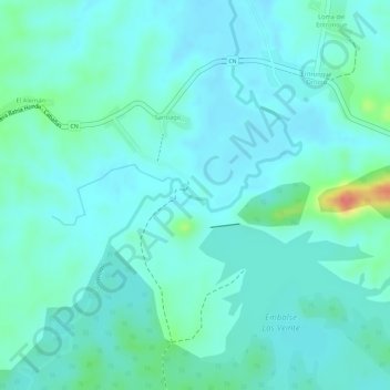
Name: Santiago topographic map, elevation, terrain.
Location: Santiago, Bahía Honda, Artemisa, Cuba (22.93039 -83.05125 22.93259 -83.04834)
Average elevation: 25 m
Minimum elevation: 10 m
Maximum elevation: 86 m