
Putte topographic map
Interactive map
Click on the map to display elevation.
About this map
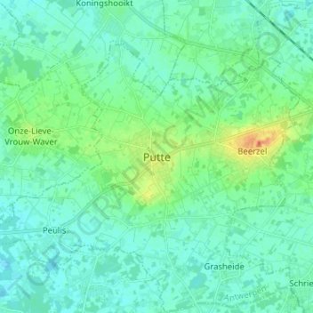
Name: Putte topographic map, elevation, terrain.
Location: Putte, Mechelen, Antwerpen, Vlaanderen, 2580, België (51.01708 4.59105 51.09708 4.67105)
Average elevation: 13 m
Minimum elevation: 4 m
Maximum elevation: 42 m
Other topographic maps
Click on a map to view its topography, its elevation and its terrain.