
Outeiro topographic map
Interactive map
Click on the map to display elevation.
About this map
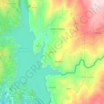
Name: Outeiro topographic map, elevation, terrain.
Location: Outeiro, Montalegre, Vila Real, 5470-332, Portugal (41.76764 -7.96459 41.80764 -7.92459)
Average elevation: 835 m
Minimum elevation: 637 m
Maximum elevation: 1,122 m