
Melchor Island topographic map
Interactive map
Click on the map to display elevation.
About this map
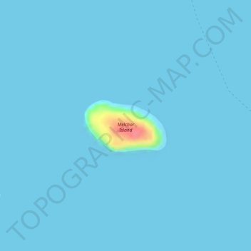
Name: Melchor Island topographic map, elevation, terrain.
Location: Melchor Island, Gasan, Marinduque, Mimaropa, Philippines (13.23184 121.82831 13.23740 121.83738)
Average elevation: 2 m
Minimum elevation: 0 m
Maximum elevation: 72 m
Other topographic maps
Click on a map to view its topography, its elevation and its terrain.