
Barnardsville topographic map
Interactive map
Click on the map to display elevation.
About this map
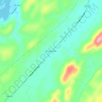
Name: Barnardsville topographic map, elevation, terrain.
Location: Barnardsville, Roane County, Tennessee, USA (35.74118 -84.61910 35.78118 -84.57910)
Average elevation: 280 m
Minimum elevation: 223 m
Maximum elevation: 418 m