
Thank you for supporting this site ❤️
Make a donation
Make a donation
Stoke Hammond topographic map
Click on the map to display elevation.
Thank you for supporting this site ❤️
Make a donation
Make a donation
About this map
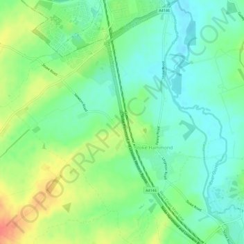
Name: Stoke Hammond topographic map, elevation, terrain.
Location: Stoke Hammond, Buckinghamshire, England, United Kingdom (51.94341 -0.75306 51.97786 -0.70393)
Average elevation: 88 m
Minimum elevation: 68 m
Maximum elevation: 124 m
Thank you for supporting this site ❤️
Make a donation
Make a donation
Other topographic maps
Click on a map to view its topography, its elevation and its terrain.
Thank you for supporting this site ❤️
Make a donation
Make a donation
Thank you for supporting this site ❤️
Make a donation
Make a donation