
Greenbrier topographic map
Interactive map
Click on the map to display elevation.
About this map
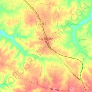
Name: Greenbrier topographic map, elevation, terrain.
Location: Greenbrier, Robertson County, Tennessee, 37073, USA (36.39635 -86.82574 36.45039 -86.77394)
Average elevation: 244 m
Minimum elevation: 196 m
Maximum elevation: 277 m