
Portsea Island topographic map
Interactive map
Click on the map to display elevation.
About this map
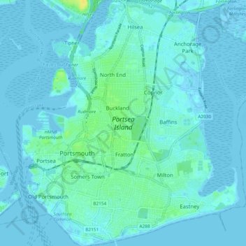
Name: Portsea Island topographic map, elevation, terrain.
Location: Portsea Island, Portsmouth, England, United Kingdom (50.77761 -1.11176 50.83699 -1.02856)
Average elevation: 3 m
Minimum elevation: -6 m
Maximum elevation: 18 m