
Higginson topographic map
Interactive map
Click on the map to display elevation.
About this map
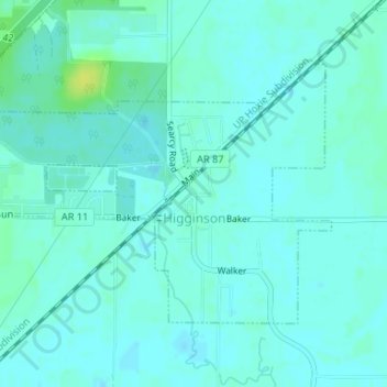
Name: Higginson topographic map, elevation, terrain.
Location: Higginson, White County, Arkansas, 72068, United States (35.18742 -91.73263 35.20553 -91.70093)
Average elevation: 68 m
Minimum elevation: 64 m
Maximum elevation: 80 m
Other topographic maps
Click on a map to view its topography, its elevation and its terrain.