
Franse Vaart topographic map
Interactive map
Click on the map to display elevation.
About this map
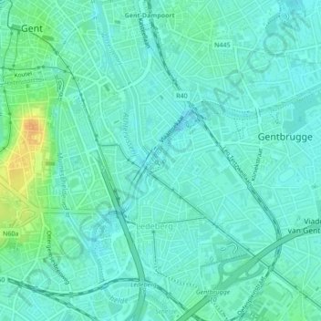
Name: Franse Vaart topographic map, elevation, terrain.
Location: Franse Vaart, Gent, Oost-Vlaanderen, Vlaanderen, 9050, België (51.04109 3.74033 51.04429 3.74298)
Average elevation: 11 m
Minimum elevation: 3 m
Maximum elevation: 33 m
Other topographic maps
Click on a map to view its topography, its elevation and its terrain.
Gentbrugge
België > Vlaanderen > Gent
Gentbrugge, Gent, Oost-Vlaanderen, Vlaanderen, 9050, België
Average elevation: 9 m
Sint-Denijs-Westrem
België > Vlaanderen > Gent
Sint-Denijs-Westrem, Gent, Oost-Vlaanderen, Vlaanderen, 9051, België
Average elevation: 7 m