
Gáfete topographic map
Interactive map
Click on the map to display elevation.
About this map
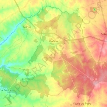
Name: Gáfete topographic map, elevation, terrain.
Location: Gáfete, Crato, Portalegre, Portugal (39.35828 -7.76149 39.43877 -7.62940)
Average elevation: 289 m
Minimum elevation: 230 m
Maximum elevation: 348 m