
Wood River topographic map
Interactive map
Click on the map to display elevation.
About this map
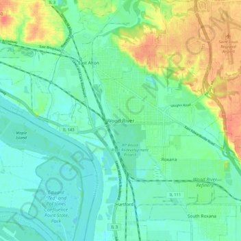
Name: Wood River topographic map, elevation, terrain.
Location: Wood River, Madison County, Illinois, 62095, United States (38.82116 -90.13761 38.90116 -90.05761)
Average elevation: 138 m
Minimum elevation: 121 m
Maximum elevation: 175 m