
Tighennif topographic map
Interactive map
Click on the map to display elevation.
About this map
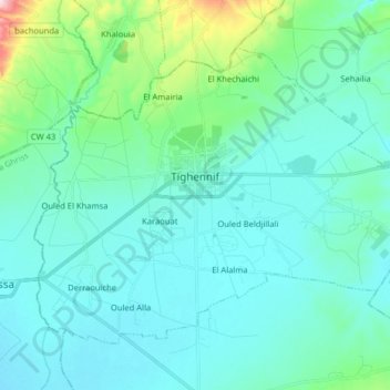
Name: Tighennif topographic map, elevation, terrain.
Location: Tighennif, Daïra Tighennif, Mascara, Algérie (35.35839 0.26321 35.45748 0.42291)
Average elevation: 524 m
Minimum elevation: 481 m
Maximum elevation: 774 m