
Bosson topographic map
Interactive map
Click on the map to display elevation.
About this map
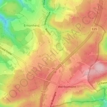
Name: Bosson topographic map, elevation, terrain.
Location: Bosson, Werbomont, Ferrières, Hoei, Luik, Wallonië, 4190, België (50.37238 5.65890 50.41238 5.69890)
Average elevation: 398 m
Minimum elevation: 281 m
Maximum elevation: 482 m