
SAN JOSE BUBUY topographic map
Interactive map
Click on the map to display elevation.
About this map
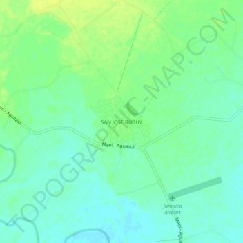
Name: SAN JOSE BUBUY topographic map, elevation, terrain.
Location: SAN JOSE BUBUY, Aguazul, Casanare, Colombia (5.08128 -72.47895 5.12128 -72.43895)
Average elevation: 230 m
Minimum elevation: 222 m
Maximum elevation: 240 m
Other topographic maps
Click on a map to view its topography, its elevation and its terrain.