
Villahermosa topographic map
Interactive map
Click on the map to display elevation.
About this map
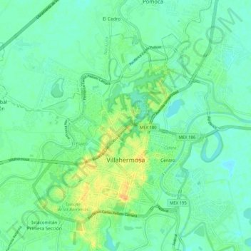
Name: Villahermosa topographic map, elevation, terrain.
Location: Villahermosa, Centro, Tabasco, Mexique (17.95718 -92.98751 18.04632 -92.88503)
Average elevation: 9 m
Minimum elevation: 0 m
Maximum elevation: 29 m