
Kehnert topographic map
Interactive map
Click on the map to display elevation.
About this map
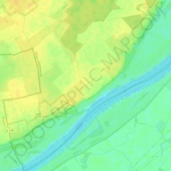
Name: Kehnert topographic map, elevation, terrain.
Location: Kehnert, Tangerhütte, Stendal, Saksen-Anhalt, Duitsland (52.33164 11.84500 52.36566 11.89239)
Average elevation: 45 m
Minimum elevation: 30 m
Maximum elevation: 54 m