
Lake Hulun topographic map
Interactive map
Click on the map to display elevation.
About this map
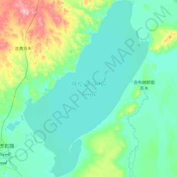
Name: Lake Hulun topographic map, elevation, terrain.
Location: Lake Hulun, Inner Mongolia, China (48.57112 116.97469 49.32618 117.79925)
Average elevation: 585 m
Minimum elevation: 536 m
Maximum elevation: 951 m