
Centenary topographic map
Interactive map
Click on the map to display elevation.
About this map
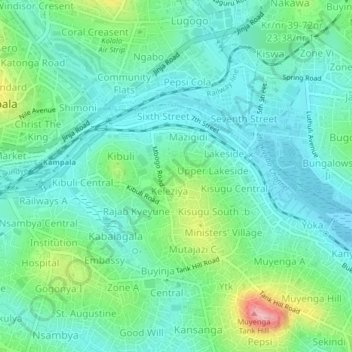
Name: Centenary topographic map, elevation, terrain.
Location: Centenary, Kampala, Central Region, Uganda (0.28950 32.58202 0.32950 32.62202)
Average elevation: 1,175 m
Minimum elevation: 1,134 m
Maximum elevation: 1,299 m