
Tongerlo topographic map
Interactive map
Click on the map to display elevation.
About this map
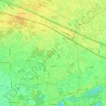
Name: Tongerlo topographic map, elevation, terrain.
Average elevation: 18 m
Minimum elevation: 5 m
Maximum elevation: 28 m
Tongerlo ligt in de vallei van de Wimp op een hoogte van ongeveer 13 meter.