
Menifee County topographic map
Interactive map
Click on the map to display elevation.
About this map
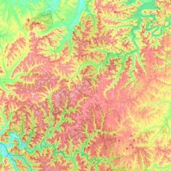
Name: Menifee County topographic map, elevation, terrain.
Location: Menifee County, Kentucky, United States (37.81840 -83.77712 38.05887 -83.43369)
Average elevation: 313 m
Minimum elevation: 198 m
Maximum elevation: 425 m