
Bencongan topographic map
Interactive map
Click on the map to display elevation.
About this map
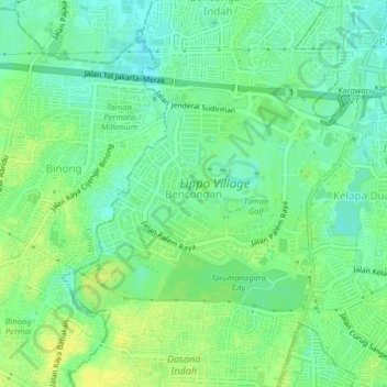
Name: Bencongan topographic map, elevation, terrain.
Location: Bencongan, Tangerang, Banten, 15811, Indonesia (-6.25525 106.57875 -6.21525 106.61875)
Average elevation: 27 m
Minimum elevation: 17 m
Maximum elevation: 36 m