
Utta topographic map
Interactive map
Click on the map to display elevation.
About this map
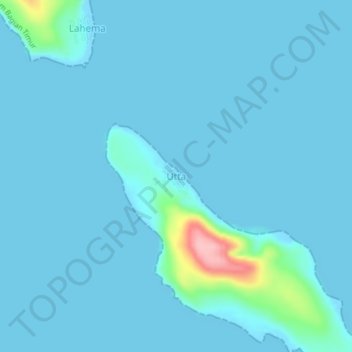
Name: Utta topographic map, elevation, terrain.
Location: Utta, Moluccas, Indonesia (-4.44952 131.59641 -4.40952 131.63641)
Average elevation: 10 m
Minimum elevation: -1 m
Maximum elevation: 145 m