
Lloro topographic map
Interactive map
Click on the map to display elevation.
About this map
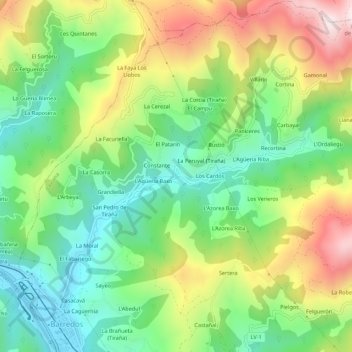
Name: Lloro topographic map, elevation, terrain.
Location: Lloro, Laviana, Asturias, 33970, Spain (43.25647 -5.57623 43.29647 -5.53623)
Average elevation: 518 m
Minimum elevation: 270 m
Maximum elevation: 908 m