
Sankranthi topographic map
Interactive map
Click on the map to display elevation.
About this map
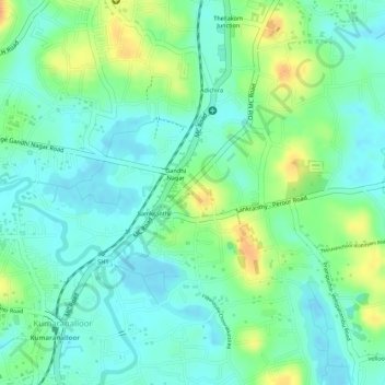
Name: Sankranthi topographic map, elevation, terrain.
Location: Sankranthi, Kumaranalloor, Kottayam, Kerala, 686028, India (9.61999 76.53454 9.63320 76.54799)
Average elevation: 15 m
Minimum elevation: -2 m
Maximum elevation: 42 m
Other topographic maps
Click on a map to view its topography, its elevation and its terrain.