
Guellal topographic map
Interactive map
Click on the map to display elevation.
About this map
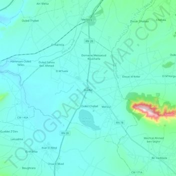
Name: Guellal topographic map, elevation, terrain.
Location: Guellal, Daïra Aïn Oulmane, Sétif, 19050, Algérie (35.97655 5.17595 36.09538 5.40263)
Average elevation: 933 m
Minimum elevation: 877 m
Maximum elevation: 1,443 m