
França topographic map
Interactive map
Click on the map to display elevation.
About this map
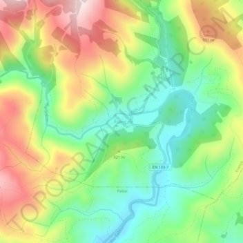
Name: França topographic map, elevation, terrain.
Location: França, Bragança, Distrito de Bragança, Portugal (41.88117 -6.75745 41.92117 -6.71745)
Average elevation: 798 m
Minimum elevation: 621 m
Maximum elevation: 1,043 m