
Chandler topographic map
Interactive map
Click on the map to display elevation.
About this map
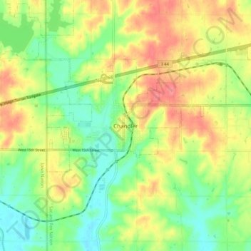
Name: Chandler topographic map, elevation, terrain.
Location: Chandler, Lincoln County, Oklahoma, 74834, United States (35.66320 -96.92001 35.74320 -96.84001)
Average elevation: 279 m
Minimum elevation: 247 m
Maximum elevation: 316 m