
Qinghai topographic map
Interactive map
Click on the map to display elevation.
About this map
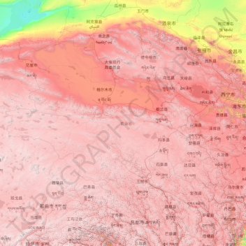
Name: Qinghai topographic map, elevation, terrain.
Location: Qinghai, China (31.60180 89.40222 39.21423 103.06941)
Average elevation: 3,710 m
Minimum elevation: 787 m
Maximum elevation: 6,545 m
Other topographic maps
Click on a map to view its topography, its elevation and its terrain.