
Sant Lluís topographic map
Interactive map
Click on the map to display elevation.
About this map
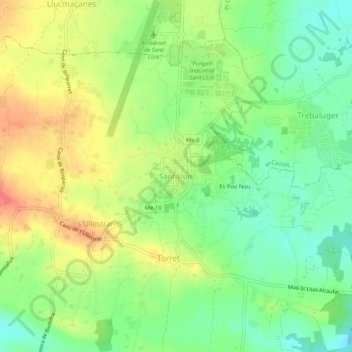
Name: Sant Lluís topographic map, elevation, terrain.
Location: Sant Lluís, Menorca, Ilhas Baleares, 07710, Espanha (39.82913 4.23798 39.86913 4.27798)
Average elevation: 55 m
Minimum elevation: 28 m
Maximum elevation: 86 m